
Digitool
Digitool Logbook
A Windows app for downloading and visualising the data recorded on your Digitool DBI3.
Version 4.0
New WPF interface, and a fix for serial 24001
Digitool Logbook 4.0 rebuilds the screens in WPF (Windows Presentation Foundation). Download, import, backup, and your existing log database stay as they are — install this update over your current copy.
- WPF architecture The flight list, charts, and map are a WPF app on .NET 8. The log-file import and SQLite database underneath are the same logbook you already use.
- Reassign SN24001 Firmware 2.2 wrote serial 24001 into every log. Tools → Reassign SN24001 flights moves those records onto the real instrument and rewrites the serial in each log file.
- Flight list and viewer Flights are grouped by year and month, and you can filter by file name or date. Chart and map open together in the flight window.
The Digitool Logbook tool is a Windows PC application for downloading and visualising data recorded on the Digitool DBI3. It is not part of the oziTarget tool set, but it may be of interest if you own a Digitool.
The application was written by me, which is why you can find it here. It stores the log files from your device(s) on your local computer and imports them into a database for processing, editing and analysis.
Key features
- ✓ Windows-only software.
- ✓ Downloads directly from your DBI3 (firmware v2.2 or later) over USB using MTP.
- ✓ Automatically cleans out junk data points and empty log files.
- ✓ Your original log files are untouched and remain on your device.
- ✓ Backup all your data and restore it on another computer if needed.
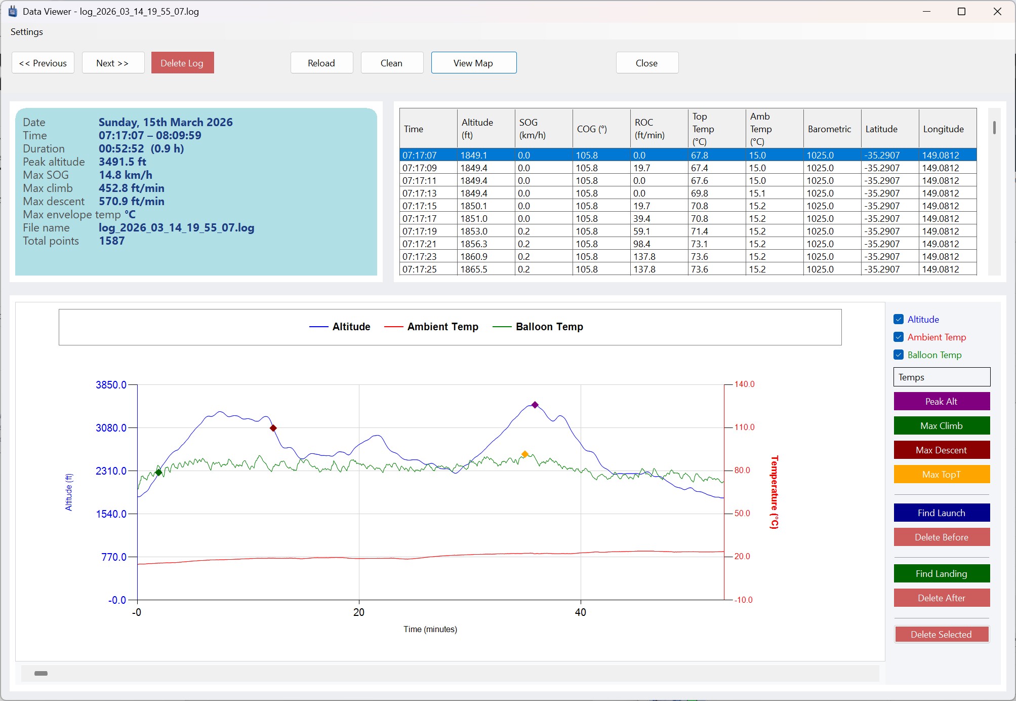
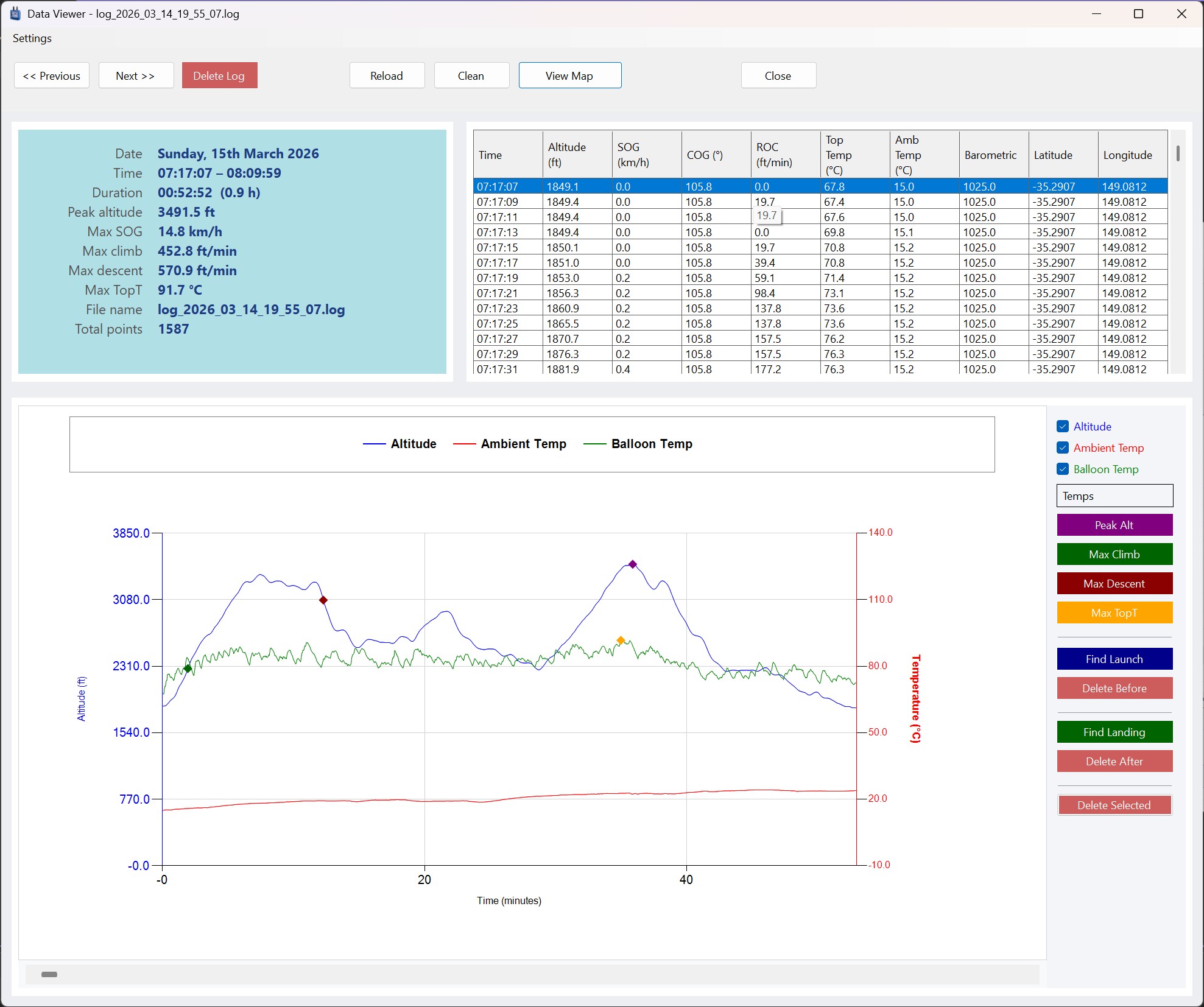
- ✓ Visualise the data — compare altitude and temperatures over time, or speed over ground and altitude over time.
- ✓ Key data points are highlighted: peak altitude, maximum rate of climb or descent, peak speed over ground, and maximum envelope temperature.
- ✓ Trim a log file to remove data points you don't need — such as time spent talking to a farmer, or the drive back to breakfast.
- ✓ Launch and landing point detection to assist in trimming log files.
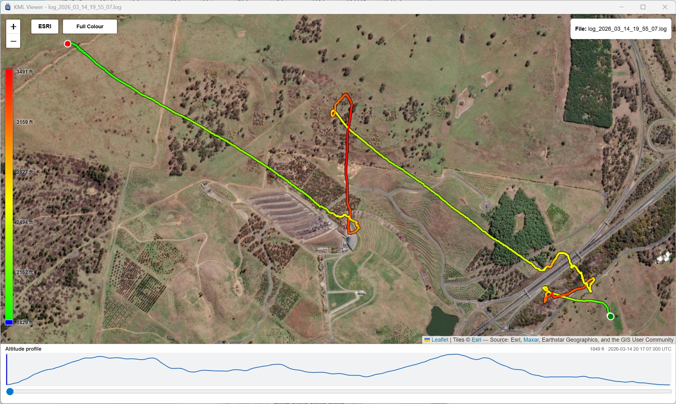
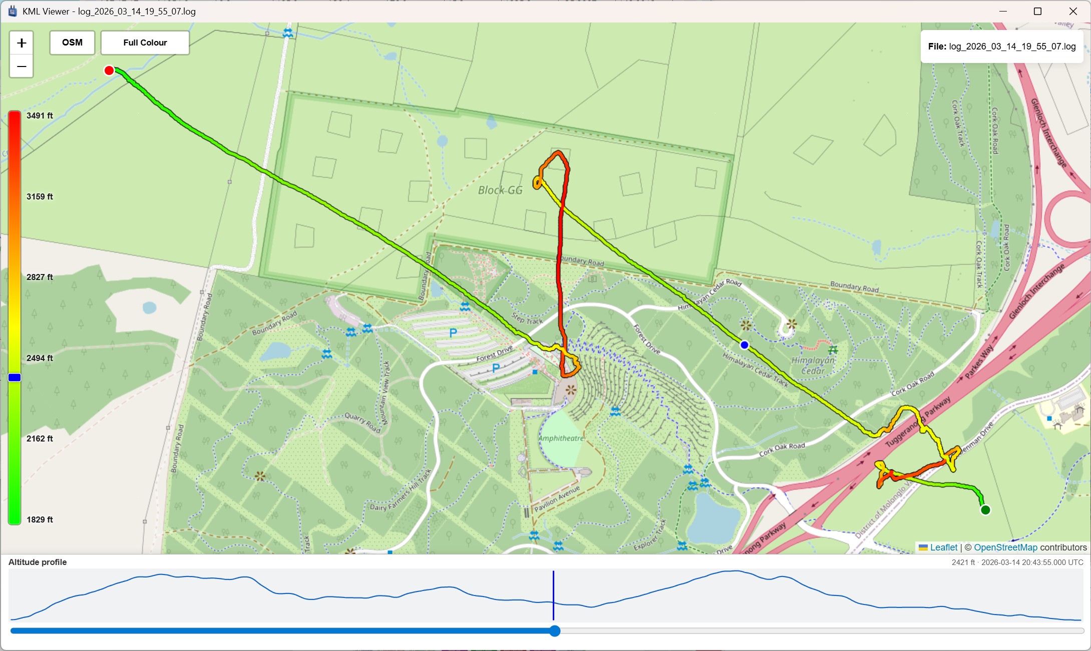
- ✓ Export a KML file to view internally in 2D over OpenStreetMap, or open it in Google Earth for the full 3D view with terrain.
Digitool firmware 2.2
Your Digitool must be on firmware version 2.2 or later to enable direct downloading from the device. Contact your dealer or the Digitool website for details on how to update the firmware if needed.
Firmware 2.2 writes every log with device serial number 24001, so downloads from more than one instrument look like the same device. Version 4.0 can move those flights onto the real instrument with Tools → Reassign SN24001 flights, and it rewrites the serial in each log file so a later import keeps the correction.
Screenshots
Please make the most of the trial and send me your comments or ideas at sales@ozitarget.com.